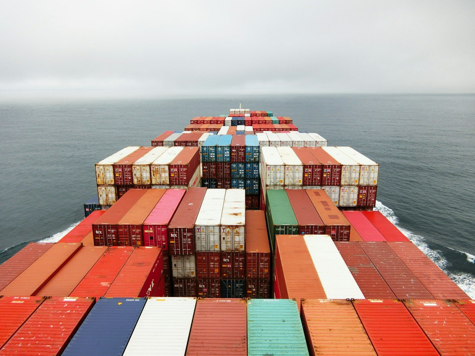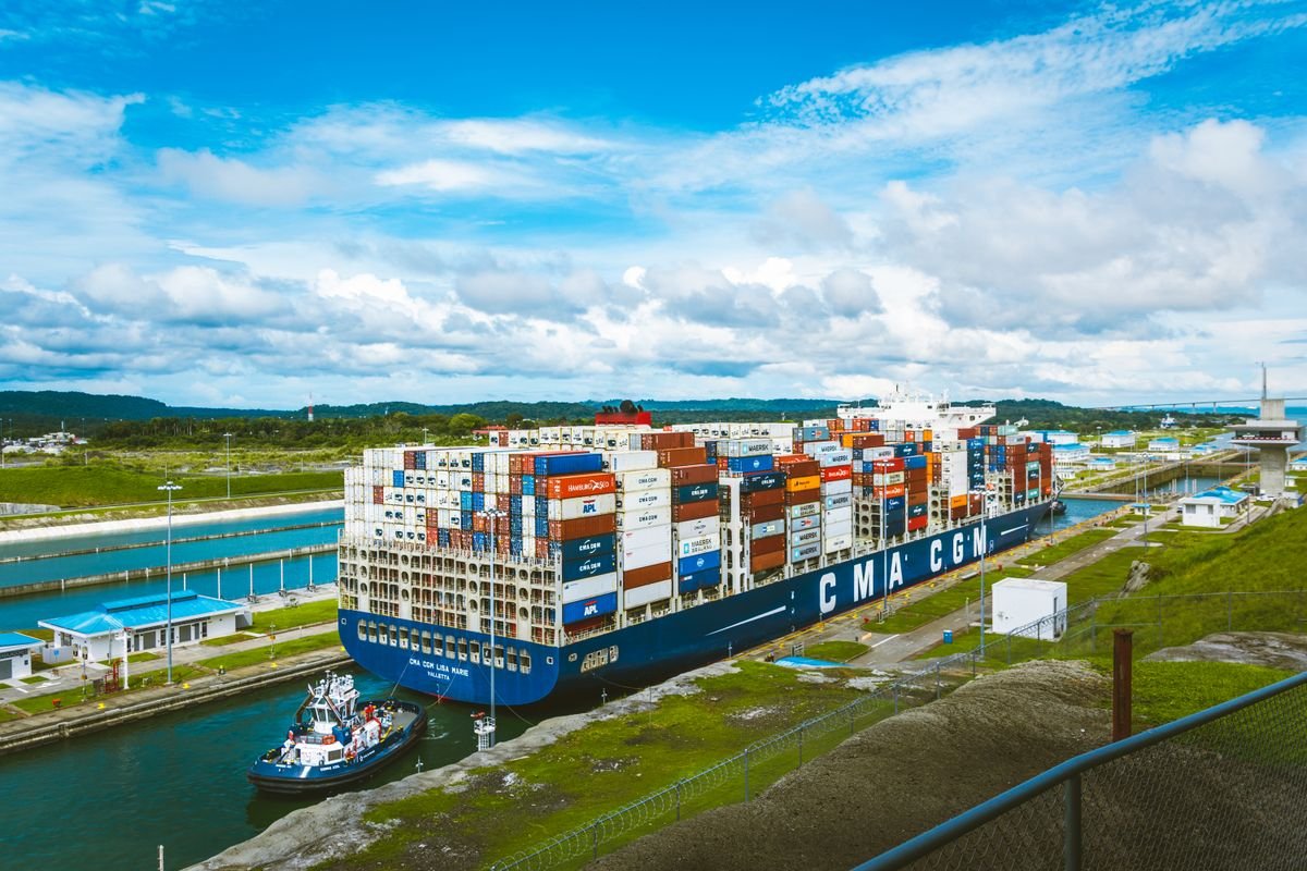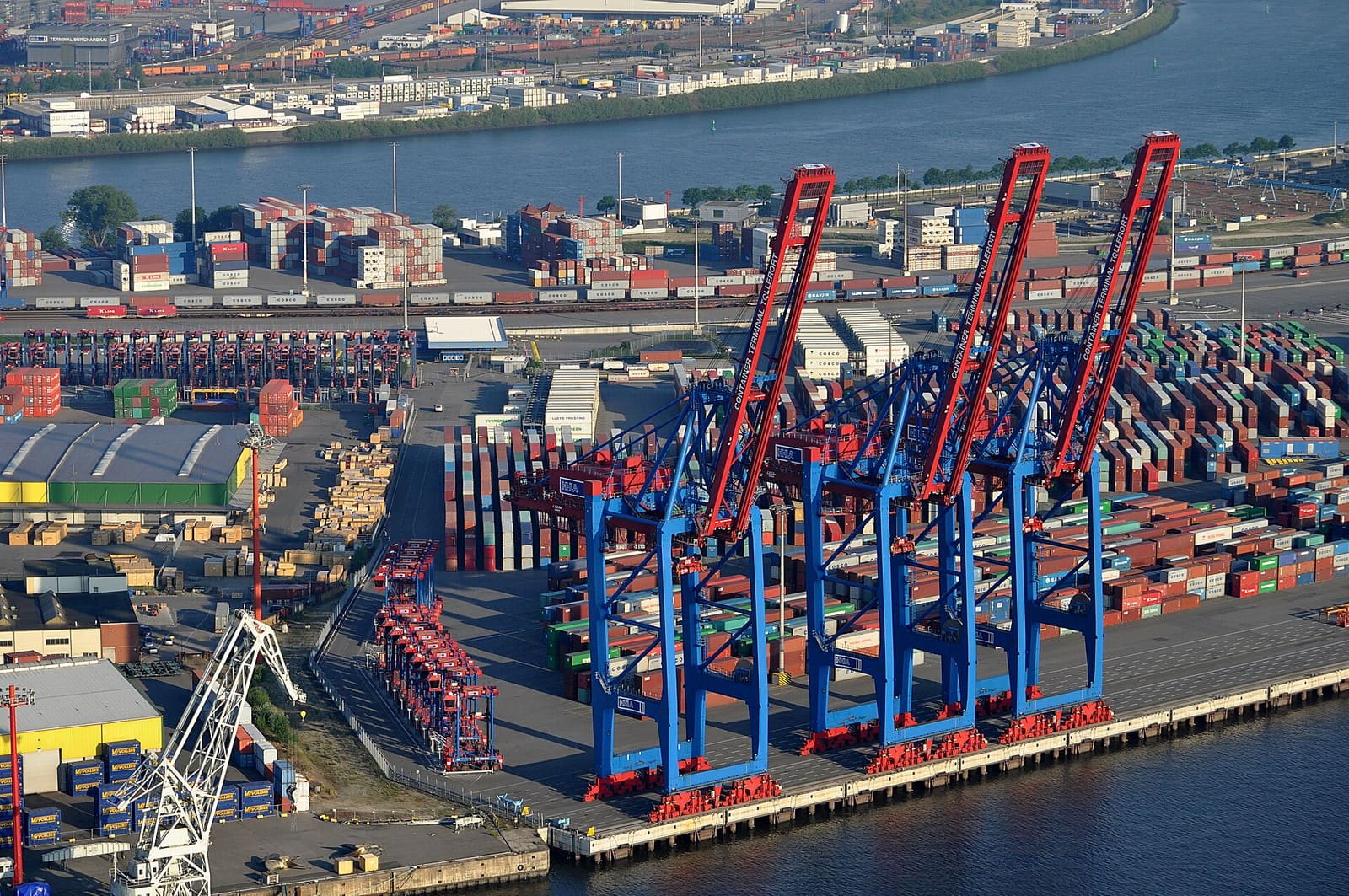
A container ship crossing the Pacific or the Indian Ocean doesn't travel in a straight line, and it hasn't for a long time. Modern vessels increasingly follow a course plotted and continuously revised by weather routing software — tools that combine meteorological forecasts, ocean current data, and the specific vessel's own performance characteristics to calculate a path that balances transit time, fuel consumption, and crew and cargo safety. What used to depend heavily on a captain's experience and periodic weather faxes has become a data-driven discipline, and as fuel costs and emissions regulation both climb in priority for ocean carriers, weather routing software has moved from a nice-to-have into a standard part of voyage planning across the transportation logistics industry. For shippers who rarely think past the booking confirmation, understanding what happens to a vessel once it's actually at sea helps explain why ocean transit times and fuel surcharges behave the way they do on a given trade lane.
What Weather Routing Software Actually Does
At its core, weather routing software ingests forecast data covering wind speed and direction, wave height, swell period, and ocean currents across the vessel's intended operating area, then runs that data through a model of the specific ship's hull form, engine power, and stability limits to calculate the combination of heading and speed that best achieves the voyage's objective — which might be minimizing fuel burn, guaranteeing an arrival time, or simply avoiding dangerous sea states that could damage cargo or the vessel itself. Crucially, this isn't a one-time calculation made before departure. The software continuously ingests updated forecasts throughout the voyage and recalculates the optimal route as conditions change, which is why a vessel's actual track across an ocean crossing often curves meaningfully away from the shortest great-circle distance between origin and destination — the ship is actively routing around weather systems that didn't exist, or weren't yet forecast accurately, when the voyage began.
The Data Feeding the Model
The accuracy of any weather routing recommendation depends entirely on the quality of the data feeding it. Numerical weather prediction models, satellite altimetry for wave height, and ocean current models covering major currents like the Gulf Stream or the Kuroshio all feed into the routing calculation, typically updated multiple times per day as new forecast runs become available. On the vessel side, the software needs an accurate model of that specific ship's behavior in various sea states — how much a loaded container vessel's speed drops when facing a given wave height and wind direction, and at what point sea conditions risk damaging deck cargo or exceeding safe stability margins. This vessel-specific modeling is part of why routing software from different providers can occasionally recommend meaningfully different routes for the same weather system — the underlying forecast data might be similar, but the assumptions about how a particular hull and loading condition respond to it can vary between systems.
Fuel Savings: What the Evidence Actually Shows
Vendor marketing for weather routing products sometimes cites dramatic fuel savings figures, and it's worth treating those claims with appropriate skepticism absent independent verification. The more credible evidence comes from peer-reviewed modeling: a 2024 study using an open-source ship routing model found CO2 savings of roughly 2% or more compared with the shortest route under typical beam or head sea conditions, a figure that rose as high as 49% on a smaller number of days each year when a significant weather system could be avoided entirely by the routing adjustment. Separate meteorological research has reported fuel and travel-time reductions in the range of 3-10% across various routing scenarios. The honest summary is that savings are real but highly variable — a handful of voyages each year that successfully route around a major storm system deliver outsized savings, while most routine crossings see more modest single-digit percentage gains, a nuance worth keeping in mind for anyone comparing transportation logistics providers on fuel-efficiency claims alone. This variability is exactly why serious evaluation of weather routing software should focus on data over a full year of voyages rather than a single favorable case study.
Schedule Reliability: The Less-Measured Benefit
Fuel savings get most of the attention in vendor marketing, but schedule reliability may be just as valuable a benefit, even though it's harder to quantify in published data. A vessel that routes around a developing storm system before encountering it avoids the kind of forced slowdown or diversion that happens when a ship sails into rough weather unprepared and has to reduce speed reactively for safety. For a transportation logistics operation planning connections at a transshipment port or coordinating onward inland transport, a vessel arriving close to its planned schedule — even if the specific route taken looks different from the planned great-circle course — matters more than the fuel bill for that particular voyage. This is part of why major carriers increasingly treat weather routing as core to overall schedule reliability rather than purely a fuel-cost optimization tool.
Traditional Fixed-Route Planning vs. Dynamic Weather Routing
| Factor | Fixed Route Planning | Dynamic Weather Routing |
|---|---|---|
| Route decision timing | Set before departure | Continuously recalculated mid-voyage |
| Storm response | Reactive — slow down once encountered | Proactive — route around before arrival |
| Fuel optimization | Based on planned conditions only | Adjusted continuously against actual forecasts |
| Schedule reliability | Vulnerable to unexpected systems | More resilient to developing weather |
Connecting to Autonomous Ships and Alternative Fuels
Weather routing software is also a foundational piece of the broader push toward smarter, lower-emission ocean shipping covered in our companion article on autonomous ships and ocean logistics. Any vessel operating with reduced crew or increased automation depends even more heavily on accurate, continuously updated routing data, since there are fewer people on board to independently judge changing conditions. The same logic applies to vessels running on alternative fuels with different range and bunkering characteristics than conventional heavy fuel oil — optimizing a route for fuel efficiency matters even more when refueling options along a given corridor are more limited. Regulatory pressure reinforces this trend directly: the International Maritime Organization's energy efficiency and carbon intensity requirements for existing ships are pushing carriers to capture every available efficiency gain, and weather routing is one of the more immediately deployable tools available to reduce a vessel's measured carbon intensity without a drydock retrofit.
Limitations: Forecast Accuracy and Human Judgment
Weather routing software is only as good as the forecast data behind it, and ocean weather forecasting, while considerably improved over past decades, still carries meaningful uncertainty beyond roughly five to seven days out. A route optimized against a ten-day forecast can look quite different once the vessel actually reaches that part of the ocean and conditions have evolved differently than predicted — which is exactly why continuous recalculation during the voyage matters more than the initial routing decision made at departure. The ship's master also retains final authority over course and speed, and experienced officers routinely combine the software's recommendation with direct observation of actual sea conditions, since local, small-scale weather phenomena don't always show up clearly in large-scale forecast models. This is a case where the lingering disruption our piece on the Panama Canal drought's impact on global shipping describes is also relevant — routing software optimizes within whatever broader constraints a voyage faces, whether that's weather, canal capacity, or other structural limitations on available routes.
Who Provides This Service and What It Costs
Weather routing is typically delivered as a subscription service from specialized marine meteorology providers rather than software a carrier builds and runs entirely in-house, since maintaining the underlying forecast data feeds and vessel performance models at the scale needed to cover a global fleet requires meteorological expertise most shipping companies don't maintain internally. One established provider in this space reports routing roughly 50,000 voyages annually, giving a sense of how mainstream the practice has become across commercial shipping rather than remaining a niche service used only by a handful of carriers. Pricing is generally structured per vessel per year or per voyage, scaled to fleet size, and is a small fraction of a vessel's total fuel spend — which is exactly the economic argument carriers make internally when justifying the subscription cost, since even modest single-digit percentage fuel savings on a vessel burning many tonnes of fuel per day across a multi-week crossing can outweigh the service fee many times over. Larger carriers with substantial in-house fleet operations departments sometimes combine a commercial routing subscription with their own internal meteorologists cross-checking the automated recommendations, particularly on vessels carrying especially weather-sensitive cargo.
How RR Brothers and Logistics Can Help
As an NVOCC booking capacity across multiple ocean carriers, RR Brothers and Logistics benefits directly when the vessels moving our clients' cargo arrive closer to schedule, which is exactly what well-implemented weather routing contributes to on long ocean crossings. While we don't operate vessels ourselves, our carrier relationships and booking practices factor in a line's track record on schedule reliability, and we build appropriate buffer into client transit-time expectations on routes known for seasonal weather exposure. For clients moving sea freight on long-haul transportation logistics lanes where weather variability is a genuine planning factor, our team can advise on realistic transit windows and alternative routing or modal options when a specific corridor's weather patterns warrant it.
Frequently Asked Questions
It combines real-time and forecast meteorological data — wind, wave height, ocean currents, and storm tracks — with the specific vessel's hull characteristics and cargo stability limits to calculate the route and speed profile that balances transit time, fuel burn, and safety margins, then updates that recommendation as conditions change mid-voyage.
No — routing software provides a data-driven recommendation, but the vessel's master retains final authority over course and speed decisions, particularly when onboard observations differ from forecast conditions or when safety considerations override a purely fuel-optimal route.
Savings vary significantly by route, vessel type, and weather patterns encountered — peer-reviewed modeling has shown fuel or emissions savings in the range of a few percent on typical voyages, rising considerably higher on a smaller number of days each year when a significant weather system can be avoided entirely.
Yes, in principle — by routing around developing storms before they're encountered rather than slowing down or diverting reactively once already in rough weather, a vessel following a weather-optimized route is less likely to arrive significantly behind schedule, though this benefit is harder to quantify in published data than fuel savings.